Our ground-breaking Technology for Urban Liveability Program (TULIP) is helping create smarter, safer and more liveable communities.
Smarter cities

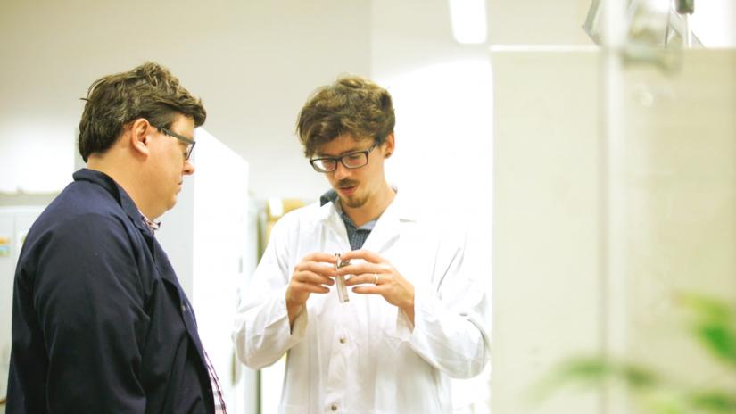
TULIP is a government funded initiative led by UTS researchers from ISF and the Faculty of Engineering and IT. It harnesses the Internet of Things (IoT) to build more liveable cities with technologies designed, integrated and delivered around the needs of communities.
How does it work?
TULIP uses networks of sensors to measure environmental variables such as urban heat, air quality and noise, as well as people counting. This data is used to improve planning, design and management of public spaces and services, optimise operations and foster a digitally engaged community.
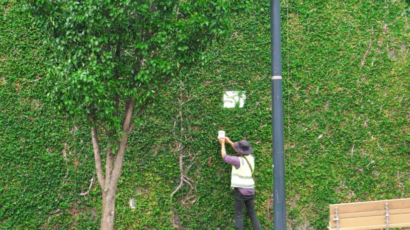
New LoRaWAN (Long Range Wide Area Network) smart city network technology uses inexpensive battery powered sensors to build a network of connected data points that enables high definition mapping of real time environmental conditions. Data is accessible to everyone thanks to an IoT network that anyone can connect to on their smart device.
Andrew Tovey, ISF Senior Research Consultant and TULIP Manager says the project is allowing UTS to play at the forefront of smart city development. “This technology not only has the potential to revolutionise the way we design and manage cities, but it also places communities front and centre, and that’s a game changer,” says Andrew.
“People can get direct access to this technology and to the data it produces. I think we’re about to see an explosion of citizen science and community advocacy in this space that will spark significant discussions about urban liveability, environmental justice and climate adaptation.”
Smart neighbourhoods
TULIP now has two LoRaWAN gateways deployed in Lake Macquarie and two on the UTS campus, serving the Sydney CBD. They connect to The Things Network, a global movement for open access community that enables anyone to connect devices for free. The project is already engaging community members and schools in Lake Macquarie, who can host LoRaWAN connected sensors that collect data on urban heat, helping them to understand extreme heat events and mitigate their impacts. The project has also delivered three public art installations in partnership with Lake Macquarie City Council, that use smart LEDs that respond to real time data on temperature, air quality, rain, wind and severe weather warnings.
With 90 environmental monitoring devices being deployed in Lake Macquarie, and another 18 in the City of Sydney, this is the largest mixed device, near real time environmental sensor network in Australia. Data collected will be shared online, enabling anyone to devise innovative ways to use the information to benefit the community.

In 2019 TULIP expanded to include two more programs:
- We’re working with Lake Macquarie City and Northern Beaches Councils to make beaches safer and improve public amenities.
Smart infrastructure will monitor wave and swell movement to detect dangerous conditions while visitor activity will be monitored to gauge which beaches and amenities are busiest. - We’ve partnered with Parramatta Council and PAYCE property developers to develop a climate responsive neighbourhood at Melrose Park, a residential build of up to 10,000 apartments.
Seventy sensors will provide data on climatic events and construction impacts which will be used to manage environmental performance on-site and support the delivery of a clean, cool and quiet community. Project partner ESRI GIS will deliver realtime visualisation of TULIP data, helping people to better understand and respond to it.

