Getting around campus
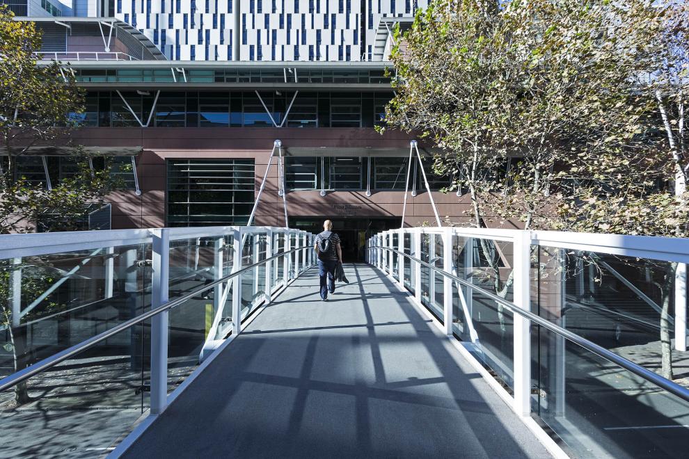


With the UTS campus ranging over several city blocks – and now including specialist facilities at Moore Park and Botany – it can take some time to find your way around.
Here are some useful resources to help you navigate:
- Campus maps – use our interactive maps to locate the main facilities and services on campus.
- Directions to UTS – find info on public transport options and other ways of getting to and from campus.
- Campus directory – information about the locations of faculties and UTS facilities.
- Preferred paths – travel safely between campus buildings, and to and from Central Station.
- MyUTSmaps – this mobile-friendly wayfinding website helps you find places, spaces and events on campus, especially when you’re on the move.
- UTS building and room numbers – a guide to the location codes across campus to identify specific buildings and rooms.
- Shuttle buses – a free security shuttle bus generally runs nightly between key campus buildings and student housing, however, the service is currently suspended due to reduced student numbers on campus.
- Parking – if you have to drive to UTS (although we encourage you to use more sustainable options), here are the most convenient parking options.
- Bicycle parking – locate bicycle parking, showers and lockers across campus, read about bicycle maintenance workshops and find useful resources for cyclists.